T4K3.news
Hurricane Erin nears US East Coast
Erin, a Category 4 hurricane, threatens life threatening surf and rip currents as it tracks toward the US East Coast this week.


Category 4 Hurricane Erin brings life threatening surf and rip currents toward the US East Coast as islands brace for outer bands.
Erin threatens US East Coast waves
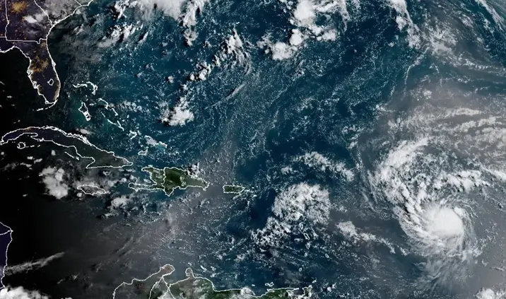
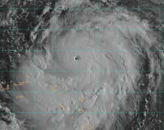
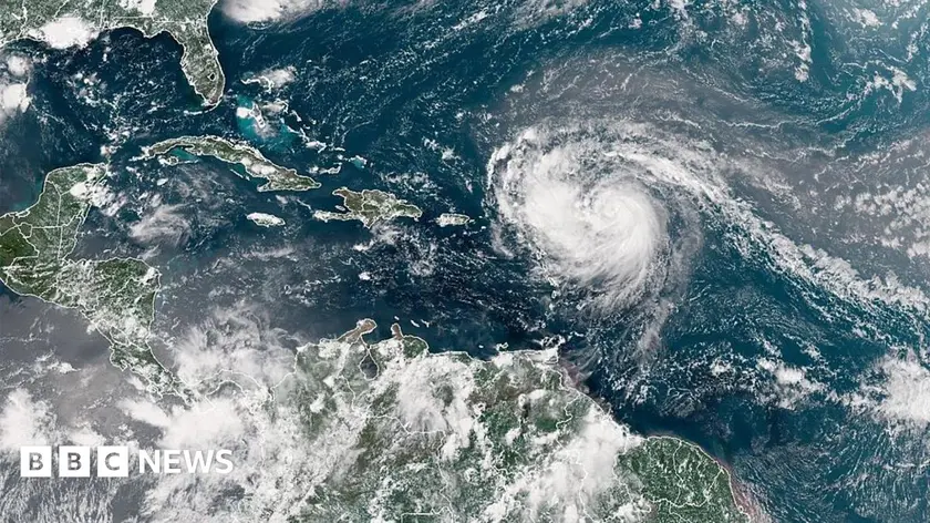
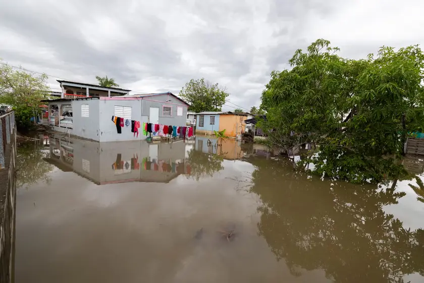
Hurricane Erin, a Category 4 storm, remains on a path that forecasters place east of the Bahamas and between Bermuda and the US Atlantic coast by midweek. It is described as large and dangerous, capable of producing life threatening surf and dangerous rip currents along the shoreline. The Bahamas have already felt outer rain bands, while Puerto Rico faced power outages affecting more than 150,000 customers before emergency repairs brought power back to 95% of customers by Sunday evening, according to Luma.
The Outer Banks in North Carolina have already ordered a mandatory evacuation for Hatteras Island as officials warn roads could become impassable. Forecasters warn of dangerous rip tides along a broad stretch of the coast and say Erin’s size means swells could persist for days. Authorities urge residents to prepare shelters and know alternate shelters if the first ones fill up. The forecast track could shift, but the risk of dangerous surf and rip currents extends up the Atlantic coast through midweek.
Key Takeaways
"These storms are volatile and can make sudden shifts in movement."
Quote from Aarone Sargent, Bahamas Disaster Risk Management Authority.
"The core of Erin will pass to the east of the Bahamas and move between Bermuda and the eastern coast of the US."
Forecast note from the National Hurricane Center.
"Mandatory evacuation of Hatteras Island is in effect."
North Carolina authorities on site.
"Prepare now before the surge arrives."
Public safety guidance for residents.
Erin tests coastal resilience by combining a wide footprint with an evolving forecast. Large storms like this strain evacuation plans, shelter capacity, and power networks that must serve residents and visitors alike. Officials must balance clear, urgent guidance with the risk of causing unnecessary alarm as models shift and the storm moves.
Beyond the weather math, Erin highlights the challenge of communicating risk without panic. When warnings change, local leaders must keep people informed while avoiding complacency, ensuring shelters and transport routes stay accessible. The event also underscores how communities depend on cross‑jurisdiction coordination to protect lives and limit damage to infrastructure.
Highlights
- Prepare now or face the consequences.
- The sea is not a playground when a Category 4 rides in.
- Storms test every plan and every shelter.
- When warnings flash, action saves lives.
Public safety risks from hurricane Erin
The storm triggers evacuations, power outages, and hazardous surf across multiple jurisdictions. The response relies on shelters, road access, and timely warnings, raising concerns about capacity and resilience.
Coastlines stay on alert as Erin nears and forecasts evolve.
Enjoyed this? Let your friends know!
Related News

Hurricane Erin Rapidly Intensifies
Hurricane Erin strengthens to Category 4

Erin downgraded but storm remains dangerous

Hurricane Erin Threat Grows
Hurricane Erin Reaches Category Five

Hurricane Erin hits the East Coast
Hurricane Erin prompts evacuations and dangerous waves

Erin set to strengthen into major hurricane