T4K3.news
Hurricane Erin Reaches Category Five
Erin intensified from 100 mph to 160 mph overnight and tracks toward the US East Coast with life threatening surf forecast.

Forecasters warn Erin rapidly strengthened overnight and is on a path toward the US East Coast with dangerous surf.
Hurricane Erin Intensifies to Category Five and Threatens East Coast
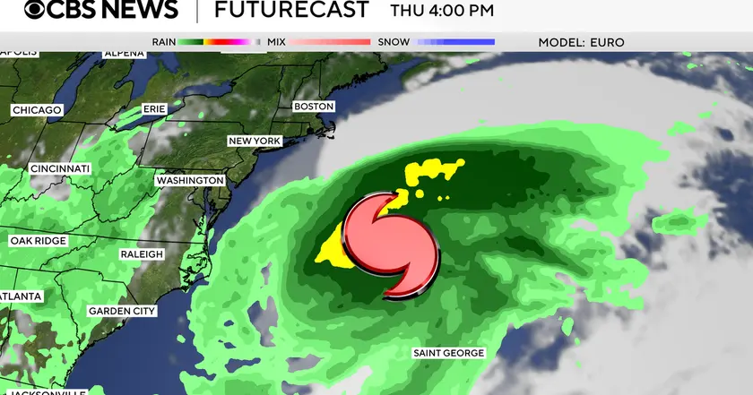
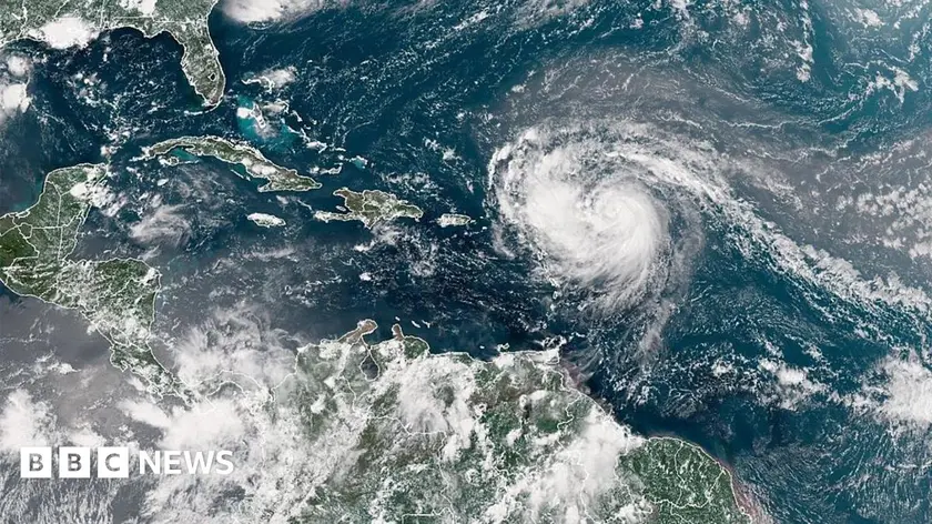
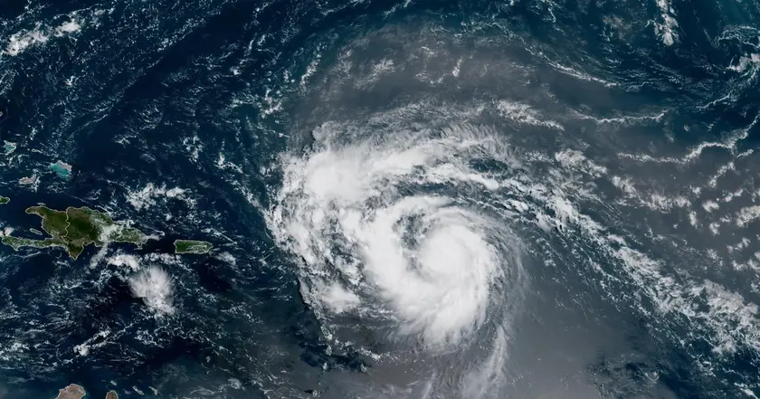
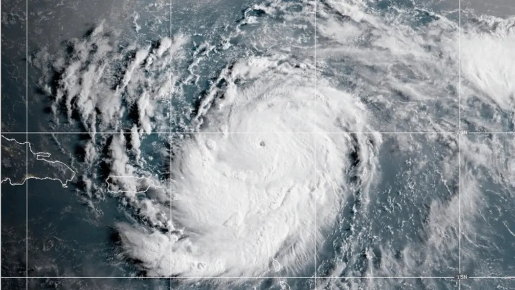
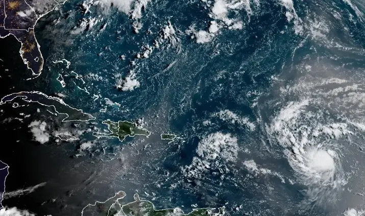
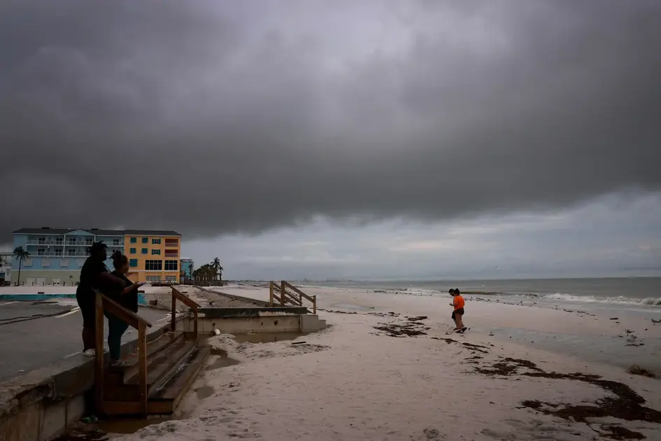
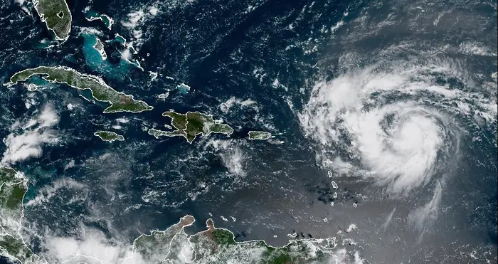
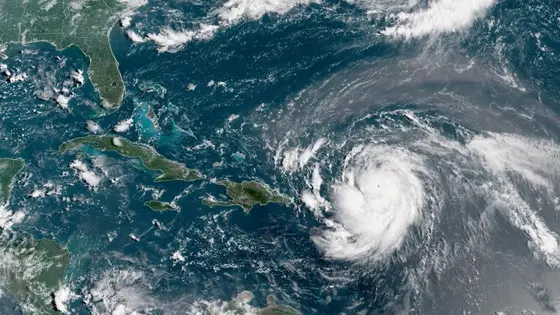
Hurricane Erin has rapidly intensified, climbing from 100 mph winds early Saturday to about 160 mph by morning. The rapid intensification threshold is a jump of at least 34 mph in 24 hours, and Erin clearly cleared that line. Forecasters say the storm is moving northward along the Atlantic, remaining east of the Bahamas and aiming toward the Outer Banks of North Carolina. The forecast warns that life-threatening surf and rip currents could reach much of the east coast next week.
Florida and the mid-Atlantic face the most dangerous surf conditions, and Bermuda could see heavy rainfall along with dangerous seas. The US Coast Guard has imposed port restrictions in the US Virgin Islands and several Puerto Rico municipalities due to gale winds. NOAA projects an above-normal Atlantic hurricane season this year, and climate science suggests more storms could reach category four and five in coming years.
Key Takeaways
"extremely powerful"
Describing Erin as a storm of exceptional strength
"explosively deepened and intensified overnight"
Noting the rapid gain in intensity overnight
"life-threatening surf and rip currents up almost the entire east coast"
Forecast of dangerous seas along the coast
"above normal Atlantic hurricane season this year"
NOAA forecast linking climate trends to season activity
Erin’s quick rise shows the challenge for officials who must translate shifting forecasts into clear actions for residents. When a storm gains strength overnight, evacuation timelines contract and guidance must be precise, not vague. Communities should translate forecasts into concrete steps for shelters, routes, and supplies.
The climate context matters. If warming continues to push sea-surface temperatures higher, the risk of major storms grows, raising the cost and urgency of coastal resilience. Policymakers face tough trade-offs between readying infrastructure and sustaining essential services, all while the public weighs immediate impacts on travel, insurance, and local economies.
Highlights
- extremely powerful storm
- explosively deepened and intensified overnight
- life-threatening surf and rip currents up almost the entire east coast
- above normal Atlantic hurricane season this year
Climate change context drives hurricane risk
The article links stronger storms to warming, a topic that can ignite policy debates and strain emergency budgets and local authorities as they prepare for future seasons.
Forecasts will continue to evolve as Erin approaches, underscoring the need for vigilance.
Enjoyed this? Let your friends know!
Related News
Hurricane Erin forms in Atlantic

Tropical Storm Erin forms in Atlantic

Erin reaches Category 4 in Caribbean
Hurricane Erin strengthens near Caribbean
Erin Could Become First Hurricane This Weekend
Tropical Storm Erin poised to become major hurricane
Hurricane Erin strengthens toward major hurricane
Hurricane Erin Rapidly Intensifies