T4K3.news
Hurricane Erin hits the East Coast
Erin brings life threatening surf and flooding risk as it moves north along the coast; beaches closure and evacuations are underway.


Erin brings dangerous surf and flood risks along the coast as it moves north, prompting warnings and closures.
Hurricane Erin Pummels the East Coast with Life-Threatening Waves
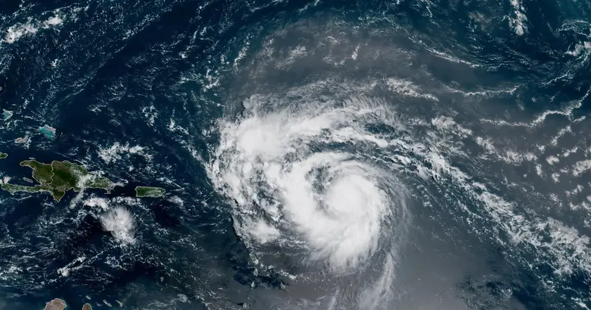
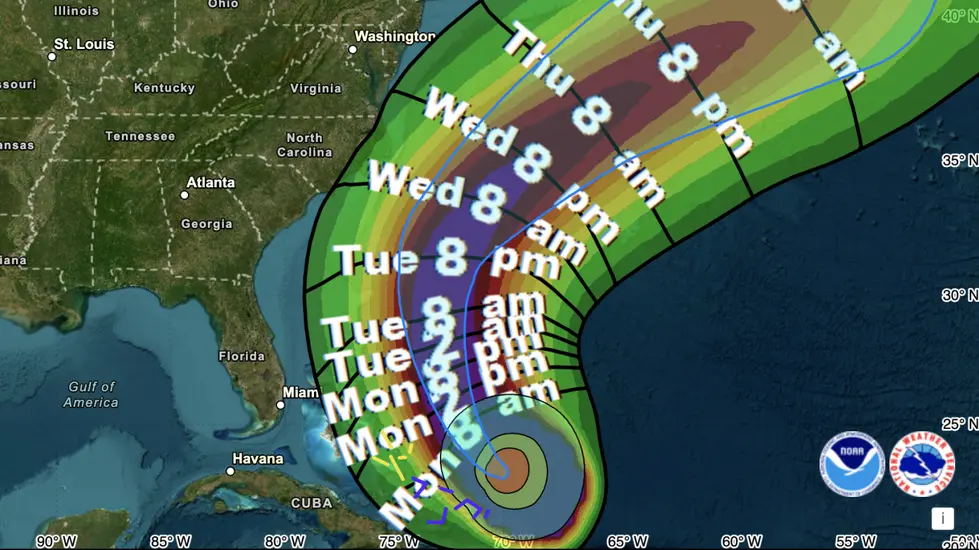
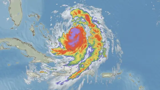
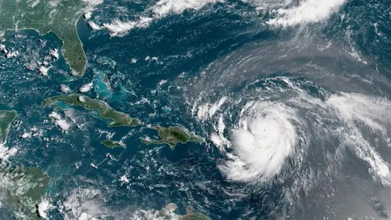
Erin is sweeping along the East Coast with higher tides and dangerous surf, triggering flood warnings and tropical storm conditions from Florida to New England. Forecasters warn of a coastwide risk of storm surge up to 4 feet and waves as high as 15 to 20 feet near beaches, with the threat lasting two days or more as the storm crawls north offshore through Thursday.
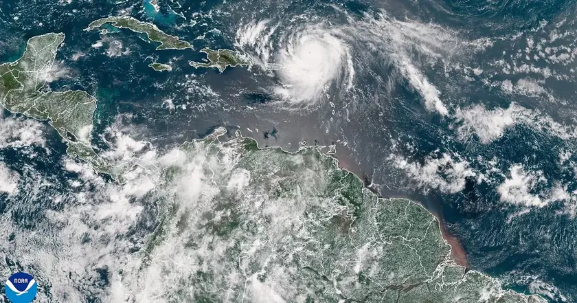
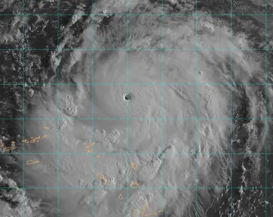
With winds around 100 mph on its north side earlier, Erin also rebuilt an inner eye wall, a sign of how quickly hurricanes can intensify. The National Hurricane Center says swells will reach the Bahamas, Bermuda, the US east coast, and Atlantic Canada in coming days, creating life threatening surf and rip currents. Officials in New York City said swimming would be prohibited at city beaches on Wednesday and Thursday because of the treacherous currents. Beach closures have begun in New Jersey and Delaware and are likely to extend into Friday or later. The Outer Banks have already seen warnings and evacuations, with Highway 12 a crucial link to barrier islands that could be cut off by rising tides.
Key Takeaways
"Swells generated by Erin will affect the Bahamas, Bermuda, the east coast of the United States, and Atlantic Canada during the next several days."
National Hurricane Center forecast
"These rough ocean conditions are expected to cause life-threatening surf and rip currents."
National Hurricane Center forecast
"Swimming would be prohibited at city beaches on Wednesday and Thursday because of the treacherous currents."
New York City officials
"Beaches from Florida to New York face a high risk of rip currents through Wednesday evening."
National Weather Service
Erin tests coastal warning systems and community readiness. Even with advisories, people still underestimate rip currents and storm surge, underlining the need for clear, actionable guidance that reaches diverse audiences. The two day window gives residents time to prepare, but it also exposes gaps in communication and response capacity for sudden shifts in storm strength.
This storm is a reminder that climate change is reshaping hurricane behavior, with faster intensification and larger waves in some regions. That trend pushes planners to rethink building codes, protective barriers, evacuation routes, and shelter capacity. In short, Erin is less a one off than a warning about longer term risks to coastlines and the people who live there.
Highlights
- Fast storms demand quicker warnings
- Preparedness now saves lives on the coast
- Climate change is reshaping storm strength
- When the sea climbs, plans must climb higher
Climate and public safety risk
The article highlights dangerous coastal conditions linked to a rapidly intensifying storm and a climate context. This raises safety concerns and potential long term planning questions for coastal communities.
The coast will remember how communities respond to Erin and prepare for what comes next.
Enjoyed this? Let your friends know!
Related News
Hurricane Erin updates
Erin set to strengthen into major hurricane
Storm Erin Remnants Metered for UK
Hurricane Erin danger grows on East Coast

Erin downgraded but storm remains dangerous
Hurricane Erin Rapidly Intensifies
Hurricane Erin strengthens to Category 4

Hurricane Erin nears US East Coast