T4K3.news
Erin downgraded but storm remains dangerous
Erin weakened to category 3 as warnings extend to Turks and Caicos and nearby Bahamas


The first Atlantic hurricane of 2025 downshifts to category 3 but broad warnings stretch to nearby islands.
Hurricane Erin weakens to category 3 as storm lashes Puerto Rico and Virgin Islands
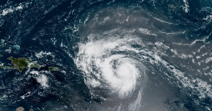
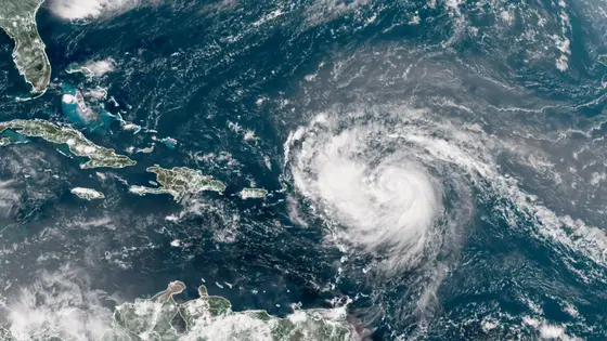
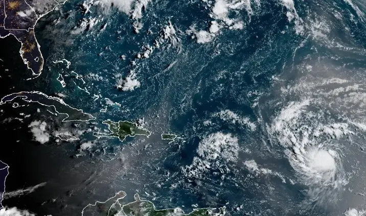
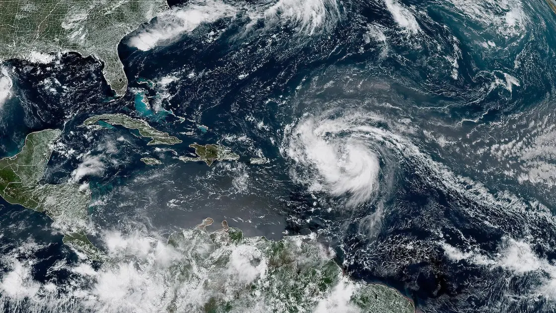
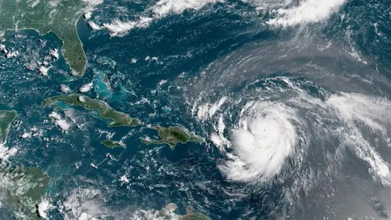
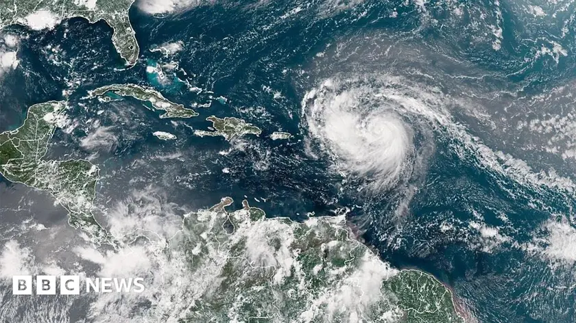
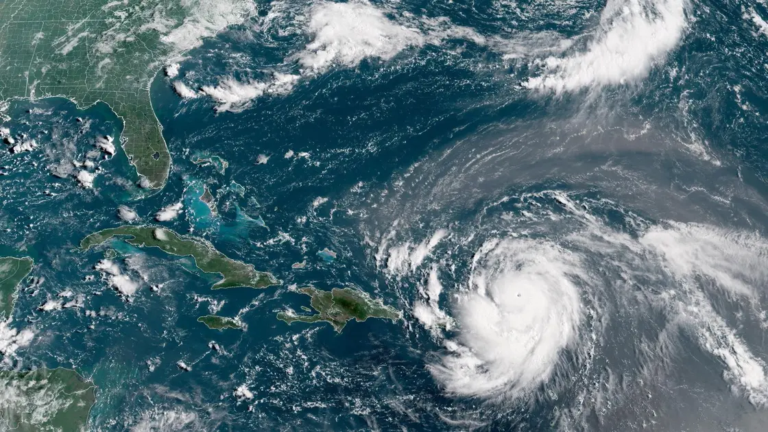
Hurricane Erin was downgraded to a category 3 hurricane early Sunday as its outer bands continued to lash the Virgin Islands and Puerto Rico with heavy rains and tropical storm force winds. While Erin’s maximum winds diminished, the storm’s overall size grew and forecasters issued tropical storm warnings for the Turks and Caicos Islands and a watch for the south-east Bahamas. The hurricane is not expected to directly threaten the US east coast, but its larger size could create dangerous rip currents along the coast.
The storm’s center was about 170 miles north of San Juan, Puerto Rico, and nearly 270 miles east of Grand Turk Island, moving west-northwest at 14 mph. The outer bands knocked out power to more than 147,000 customers in Puerto Rico and led to the cancellation of more than 20 flights. Swells were expected to affect Hispaniola, Puerto Rico, the Virgin Islands, and the Turks and Caicos Islands in the coming days. Bermuda could face similar conditions as Erin turns north and then northeast.
Key Takeaways
"Bigger storms travel farther and hit harder"
Highlights the risk expansion as Erin grows in size
"Warnings today are about tomorrow's homes and highways"
Emphasizes human impact of storm alerts
"Climate change is making storms stronger and longer lasting"
Links warming to intensified storms
"Preparedness is the best weather insurance"
Editorial call for readiness
Erin’s trajectory highlights a key risk in modern storms: size can travel farther than wind alone. A larger storm can push dangerous seas and rain farther inland even if the strongest winds are not aimed at a city. This matters for coastal highways, power networks, and tourism-dependent economies.
Scientists have linked the rapid intensification of Atlantic hurricanes to climate change, driven by greenhouse gas emissions. Warmer waters and higher atmospheric moisture feed heavier rain and faster strengthening, increasing the likelihood that storms grow both stronger and larger in a single season. Preparedness and resilient infrastructure are essential as the pattern of risk evolves.
Highlights
- Bigger storms travel farther and hit harder
- Warnings today are about tomorrow's homes and highways
- Climate change is making storms stronger and longer lasting
- Preparedness is the best weather insurance
The weather will keep testing communities as Erin moves along its path.
Enjoyed this? Let your friends know!
Related News

Hurricane Erin remains dangerous
Hurricane Erin Update
Erin Could Become First Hurricane This Weekend
Erin becomes first Atlantic hurricane of season
Hurricane Erin Rapidly Intensifies
Erin set to strengthen into major hurricane
Hurricane Erin Reaches Category Five
Hurricane Erin Threat Grows