T4K3.news
Hurricane Erin Rapidly Intensifies
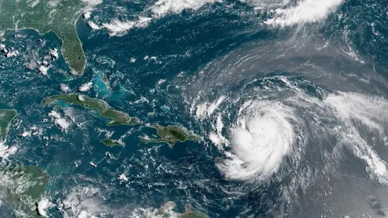
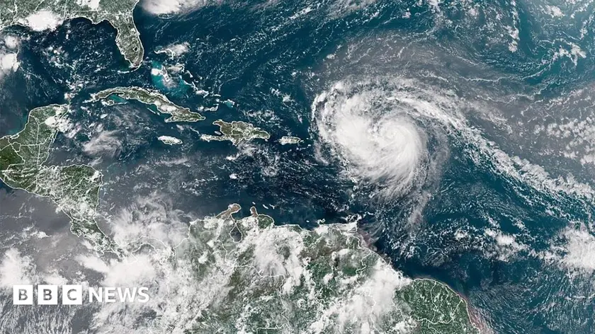
Erin strengthened quickly, reaching near-Category 5 status before fluctuating in the open Atlantic. Expect rough seas and potential impacts to Caribbean islands and Atlantic coastal areas next week.

Hurricane Erin rapidly strengthened, setting a pace for extreme storms as warming seas feed more powerful hurricanes.
Erin Demonstrates Rapid Intensification Across Atlantic
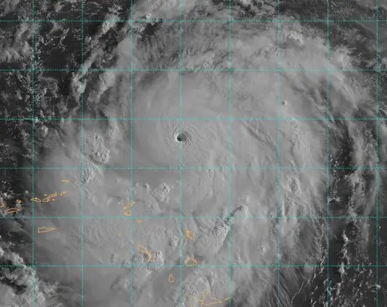
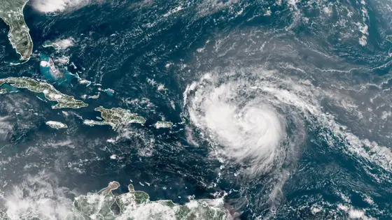
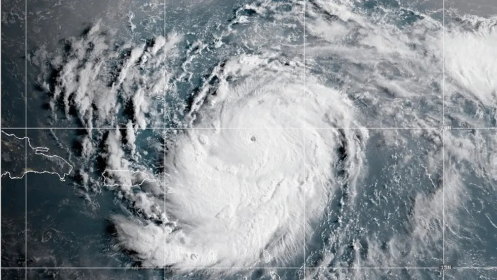
Erin quickly intensified from a Category 1 hurricane with 75 mph winds to a Category 5 with near 160 mph winds in roughly 24 hours, placing it among the fastest-strengthening storms on record in the Atlantic. It then weakened slightly to a Category 3 and is moving through the open Atlantic north of the Caribbean, with forecasters noting it will continue to fluctuate as eyewall replacement cycles unfold.
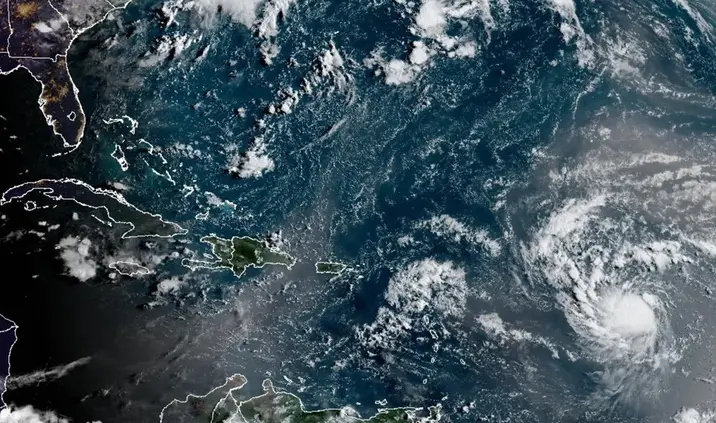
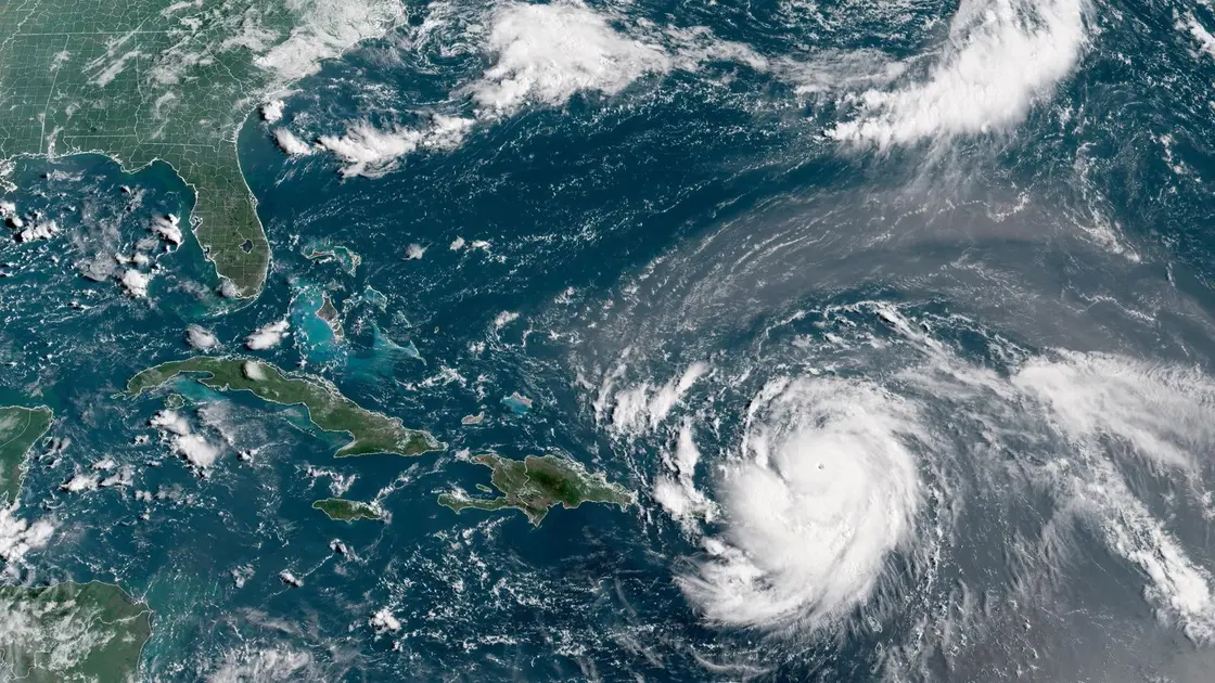
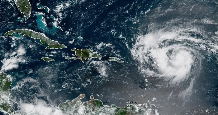
Forecasts show Erin remaining off land but expanding in size, bringing heavy rain, rough seas, and dangerous rip currents to nearby islands and the US East Coast later next week. Officials have already closed several ports near Puerto Rico and the U.S. Virgin Islands as a precaution, while tropical-storm watches remain in effect for nearby Leeward Islands and Turks and Caicos. The season continues a pattern of above-average tropical activity and stronger storms linked to warmer ocean temperatures.
Key Takeaways
"Erin went from a Category 1 hurricane with 75 mph winds at 11 a.m. Friday to a Category 5 with near 160 mph winds just over 24 hours later"
Describes the pace of intensification
"The wind field is forecast to at least double or triple in size next week"
Forecast impact on surrounding areas
"Rapid intensification is when a hurricane gains at least 35 mph of wind speed in at least 24 hours"
Forecasters define the speed of growth
"It is the 11th Category 5 hurricane recorded in the Atlantic since 2016"
Record pace of major storms
The storm underscores a growing climate pattern where warmer seas enable rapid gains in intensity. Forecasts that call for a wind field to double or triple in size heighten the risk of coastal hazards far from Erin’s center, complicating preparations for residents and authorities. While Erin is not projected to land directly, its expanding reach means more communities must plan for flooding, beach erosion, and disruptions to ports and tourism.
This season’s string of powerful storms signals a need for better forecasting tools, clearer public messaging, and resilient infrastructure. Preparedness now reduces future damage and saves lives as weather patterns grow more volatile.
Highlights
- The wind field is forecast to at least double or triple in size next week
- Rapid intensification is when a hurricane gains at least 35 mph of wind speed in at least 24 hours
- Erin is the Atlantic’s first major hurricane of the season
- It is the 11th Category 5 hurricane recorded in the Atlantic since 2016
Coastal risk amplified by rapid storm growth
The combination of rapid intensification and a widening wind field raises the likelihood of dangerous surf, heavy rainfall, flash flooding, and disruptions to ports and offshore operations across the Caribbean and Atlantic seaboard.
Times of rapid change demand steady preparation, not dramatic hesitation.
Enjoyed this? Let your friends know!
Related News
Hurricane Erin strengthens to Category 4
Hurricane Erin Reaches Category Five
Hurricane Erin Update
Hurricane Erin strengthens near Caribbean
Erin Could Become First Hurricane This Weekend
Hurricane Erin Category 5 reached

Hurricane Erin Threat Grows
Hurricane Erin strengthens toward major hurricane