T4K3.news
Hurricane Erin Update
Erin remains a major hurricane; monitor advisories for potential changes in track and intensity.

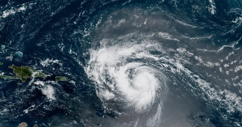
Hurricane Erin strengthens quickly as it tracks northeast of the Caribbean, bringing rough seas and potential heavy rain to nearby islands.
Hurricane Erin Reaches Category 4 Amid Rapid Atlantic Intensification
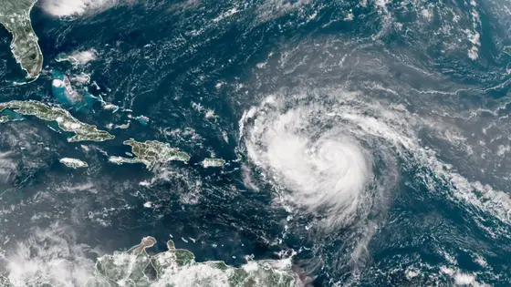
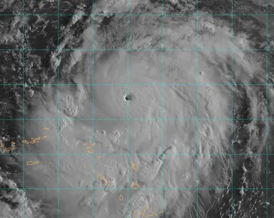
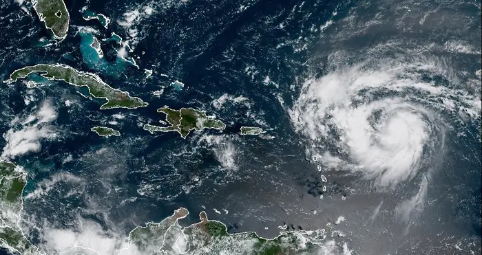
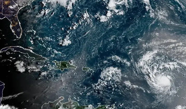
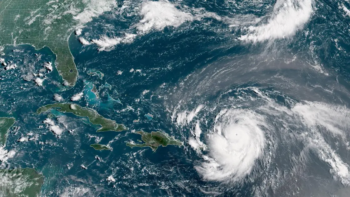
Erin strengthened to Category 4 with sustained winds of 130 mph Saturday morning, located about 150 miles northeast of Anguilla. The storm is moving north of the Leeward Islands and is expected to pass well north of the Virgin Islands and Puerto Rico. Forecasters say Erin is unlikely to make direct landfall on the northeastern Caribbean, though tropical alerts remain in place for some areas. Ports in the US Virgin Islands and Puerto Rico were closed to inbound traffic as a precaution to safety and commerce.
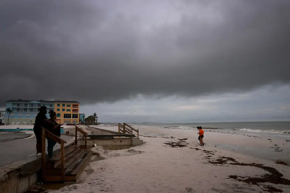
Forecasters expect Erin to grow in size and stay potent through the weekend, with sea surface temperatures warmer than normal feeding the storm. Rainfall could total 2 to 4 inches in many places, with heavier bands up to 6 inches possible. The season's pattern points to more tropical activity, and rapid intensification is a key concern for planners, mariners, and residents. Coastal authorities advise monitoring official updates and preparing for rough seas and rip currents.
Key Takeaways
"Erin is forecast to track north over the western Atlantic next week"
Forecast line used to describe Erin's path
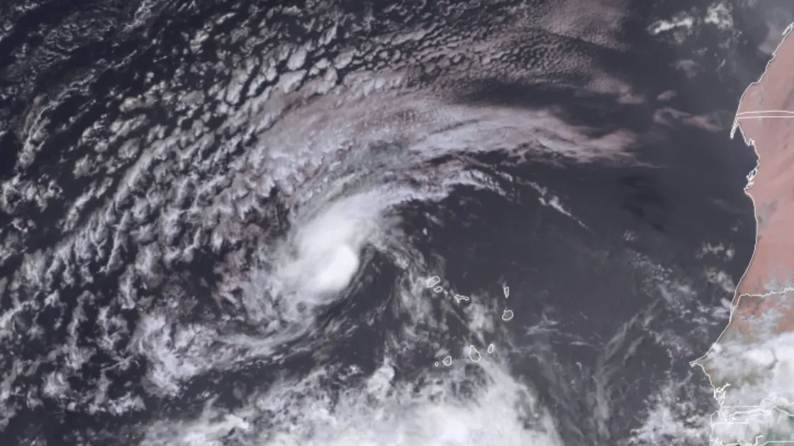
"Rapid intensification occurs when the winds around a storm’s center increase by at least 35 mph in 24 hours"
Definition of rapid intensification
"This type of explosive strengthening is happening more frequently as planet-warming pollution tips the scales toward hotter oceans that fuel powerful storms"
Climate context mentioned in article
Erin underscores a wider pattern in a warming Atlantic where storms can become dangerous quickly. That reality pushes communities to invest in clearer warnings, faster evacuations when needed, and better coastal protections. It also highlights how climate signals are shaping decision making in emergency management and tourism alike.
The article blends forecasts with practical steps already taken, showing both the limits and value of advance planning. As the tropics wake up, officials must keep communications precise and timely to avoid a costly mismatch between alarm and action.
Highlights
- Heat in the sea writes the weather headlines we fear
- Preparation beats panic in the face of a fast storm
- The season is shifting and caution should lead
- Rough seas become the headline for nearby islands
Forecasts will evolve with the weather; stay updated
Enjoyed this? Let your friends know!
Related News
Tropical Storm Erin poised to become major hurricane

Erin update prompt
Hurricane Erin strengthens to Category 4
Hurricane Erin strengthens toward major hurricane

Tropical Storm Erin forms in Atlantic
Erin Could Become First Hurricane This Weekend
Erin set to strengthen into major hurricane
Hurricane Erin Threat Grows