T4K3.news
Tropical Storm Erin poised to become major hurricane
Erin formed west of Cabo Verde and is expected to strengthen toward a major hurricane this weekend, with track uncertainty.

Forecasters expect Erin to intensify and possibly reach major hurricane strength as it moves across the Atlantic, with track uncertainty central to risk.
Tropical Storm Erin Poised to Become Major Hurricane
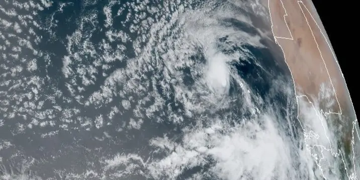
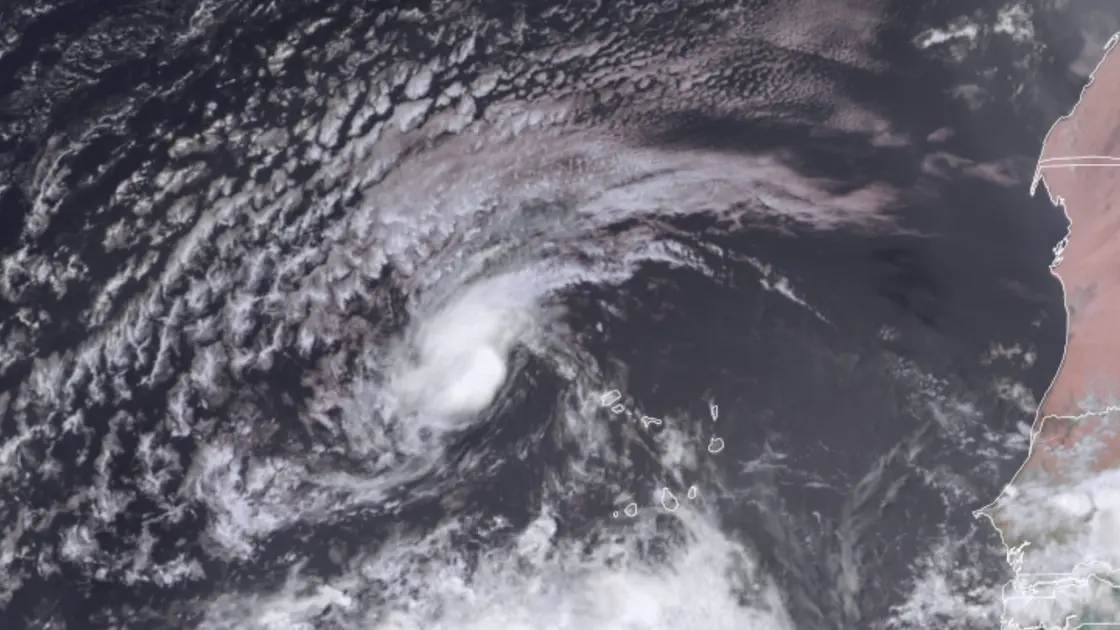
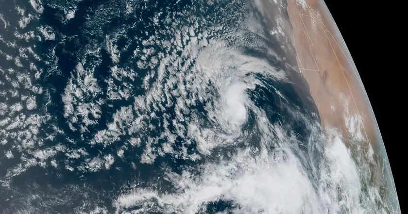
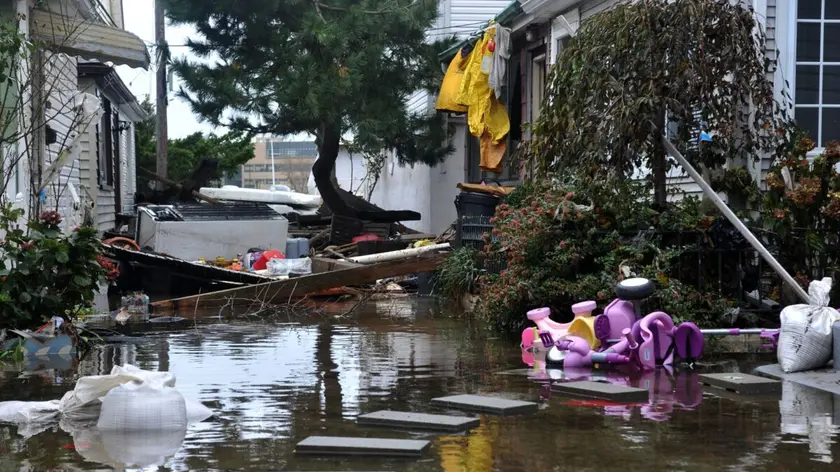
Tropical Storm Erin formed in the eastern Atlantic on Monday, west of the Cabo Verde Islands, with maximum sustained winds near 45 mph. The National Hurricane Center projects Erin will become a hurricane by Friday and a major hurricane by Saturday as it travels generally northwest across the Atlantic. By the weekend, forecasters expect Erin to be northeast of Puerto Rico, though the exact path remains unclear because model guidance diverges at longer ranges.
Key Takeaways
"NOAA expects an above normal Atlantic hurricane season"
Season outlook framing the overall risk
"Forecasts are maps for action not prophecies"
Editorial takeaway on forecasting
"Communities should stay alert and follow official guidance"
Public guidance emphasis
"Track uncertainty now matters more than the storm's current strength"
Editorial stance on forecast limits
Forecasting a storm that could intensify to a major hurricane is a reminder that weather models are maps, not destinies. Erin’s future track shows increasing spread among models, which means officials and residents should stay attentive to updates rather than counting on a single scenario. The bigger challenge is balancing urgency with restraint: warnings must prompt preparation without provoking panic.
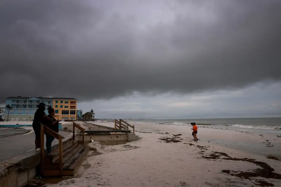
The season outlook from NOAA points to a busy Atlantic, which tests preparedness across coastal areas and shipping routes. As Erin evolves, communities should rely on official guidance and keep emergency plans ready. Forecasting is imperfect by design, but action based on the latest data can save lives and property.
Highlights
- Forecasts are maps for action not prophecies
- Prepare now and watch updates closely
- A busy season tests readiness more than certainty
- Track shifts can redefine risk in hours
Staying informed matters more than guessing right now.
Enjoyed this? Let your friends know!
Related News
Erin poised to become first major hurricane of 2025 Atlantic season
Erin set to strengthen into major hurricane
Tropical Storm Erin forms in Atlantic

Erin update prompt

Steve Miller Band cancels U.S. tour over safety concerns
New study shows increase in senior mortality risk after Hurricane Sandy

2025 hurricane season storm names confirmed

Wildfire smoke forecasting tools reviewed