T4K3.news
Hurricane Erin strengthens toward major hurricane
Erin is forecast to become a major hurricane this weekend as it tracks near the Leeward Islands and Caribbean.

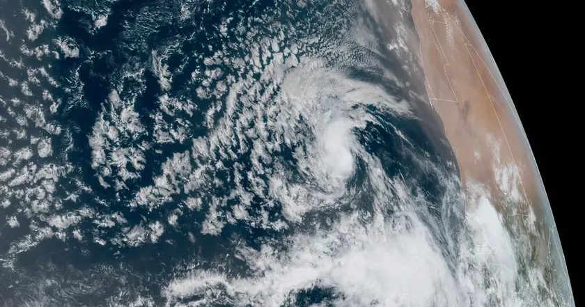
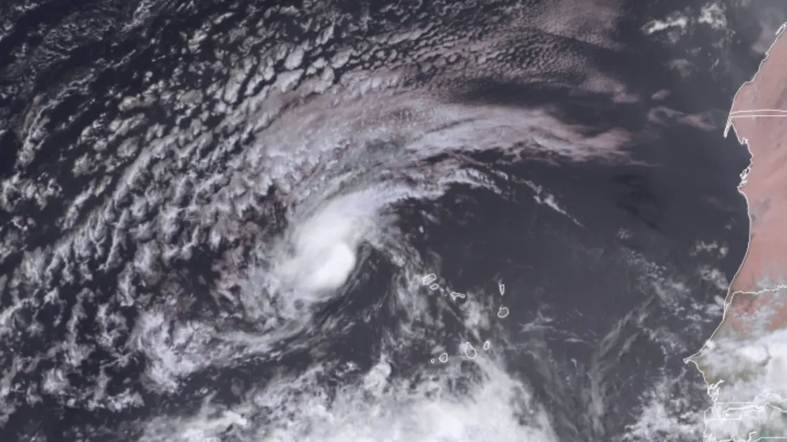
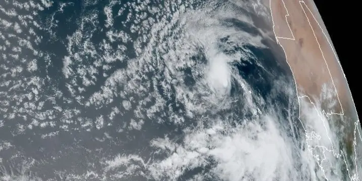
Hurricane Erin formed in the eastern Atlantic and is tracking toward the Caribbean with potential impacts on islands and possibly the U.S. East Coast.
Hurricane Erin strengthens toward major hurricane as it nears Caribbean
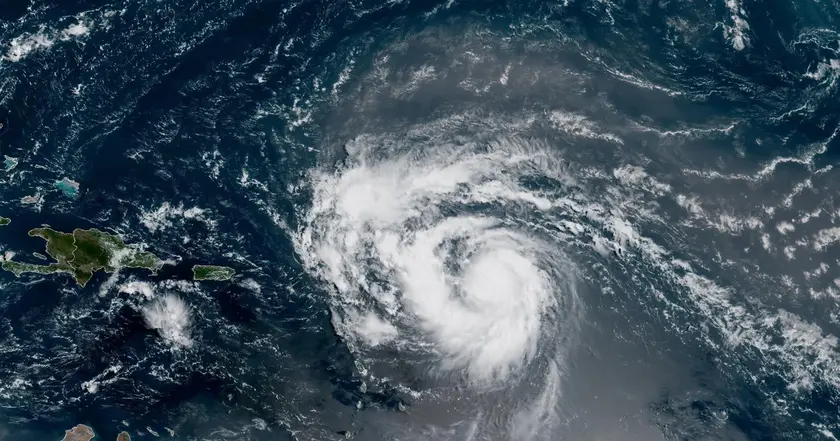
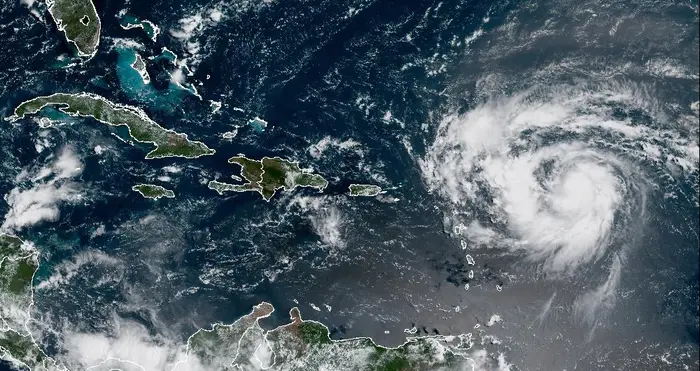
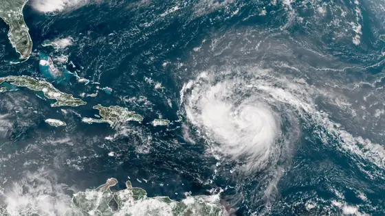
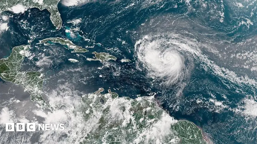
Hurricane Erin formed in the eastern Atlantic and is moving west-northwest at 17 mph. The system has maximum sustained winds of 75 mph and lies about 365 miles east of the northern Leeward Islands. The National Hurricane Center has issued tropical storm watches for Anguilla, Barbuda, St Martin, St Barthelemy and Sint Maarten as Erin heads toward the Caribbean. Forecasters say the center of Erin will likely pass just north of the northern Leeward Islands, the Virgin Islands and Puerto Rico this weekend, with outer rain bands bringing 2 to 4 inches of rain and up to 6 inches in isolated locations, raising flood and mudslide risks in hills and mountains.
Forecasts call for steady to rapid strengthening over the next two to three days, with Erin expected to become a major hurricane by the weekend. While direct impacts along the U.S. East Coast and the Bahamas look to ease as the track shifts, Caribbean residents should monitor updated advisories and be prepared for changing conditions.
Key Takeaways
"The center of Erin is likely to move just north of the northern Leeward Islands over the weekend"
Forecast path update from the NHC
"Erin is forecast to become a major hurricane during the weekend"
Intensity forecast
"Rainfall could reach up to 6 inches in isolated areas bringing flood risk"
Rainfall forecast impact
"Prepare now and stay informed as models evolve"
Editorial note urging readiness
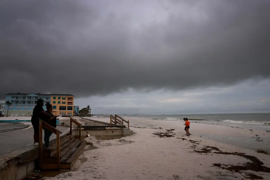
This early storm tests how communities respond to tropical threats at the start of the season. Clear guidance and timely warnings matter, especially when forecasts shift and rainfall threatens flood-prone terrain. The situation underscores the need for practical preparedness rather than alarm as maps evolve.
The broader trend is a warm Atlantic that can fuel rapid intensification for some storms. For officials, the task is translating model runs into concrete actions—shelters ready, resources allocated, and evacuation plans tested—before Erin arrives.
Highlights
- Erin could surge to major hurricane this weekend
- Forecasts can change fast stay ready
- Heavy rain means flash floods in vulnerable terrain
- Prepare now and stay informed as models evolve
Updates will define the path and highlight practical steps for communities.
Enjoyed this? Let your friends know!
Related News
Tropical Storm Erin forms in Atlantic
Erin set to strengthen into major hurricane
Hurricane Erin Update
Erin poised to become first major hurricane of 2025 Atlantic season

Erin update prompt
Tropical Storm Erin poised to become major hurricane

Erin reaches Category 4 in Caribbean
Hurricane Erin Reaches Category Five