T4K3.news
Storm Erin update reaches UK
Met Office warns of strong winds and heavy rain late in August as Erin moves across the Atlantic.


The Met Office updates on Storm Erin as the country braces for strong winds and heavy rain following a heatwave.
Storm Erin tests UK weather after heatwave
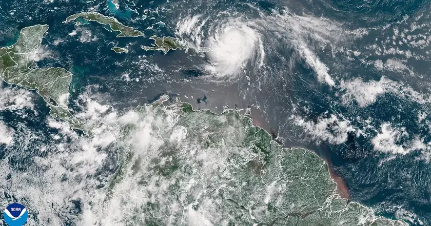
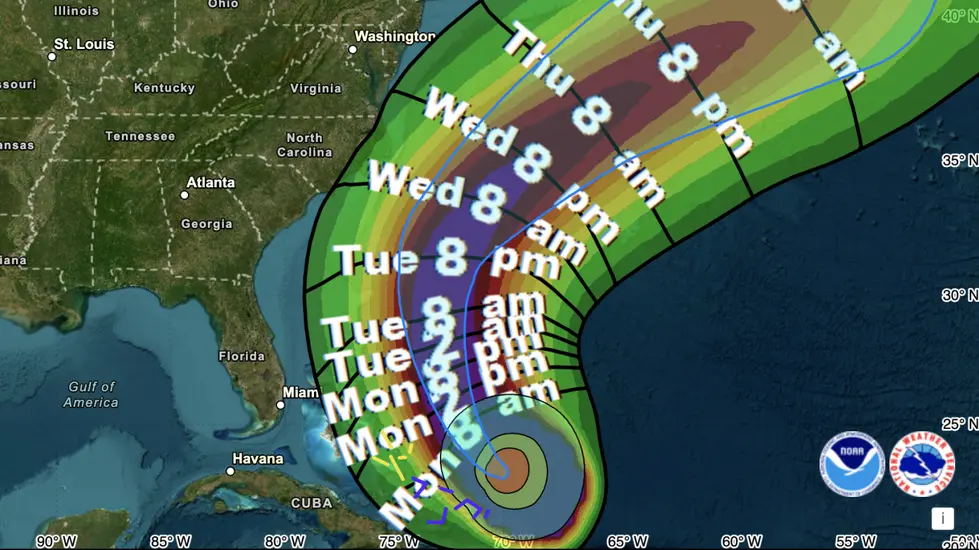
The Met Office issued an update on Storm Erin, noting that the tropical storm remains on a North Atlantic path that could bring stronger winds and heavy rain to southern and western UK areas later in August. The country has just endured a spell of heat with London recording 33.4C on August 12 and Manchester around 25C during the week, while other regions cooled gradually. Forecasters warn that conditions may turn unsettled as Erin interacts with Atlantic weather patterns, potentially pushing temperatures down and bringing bands of rain inland.
Far to the south, Cape Verde’s Sao Vicente and Santo Antao islands faced a separate crisis as Erin’s distant influence prompted a state of emergency, with about 1,500 people evacuated and nine confirmed deaths. The National Hurricane Centre warned Erin could move toward the Leeward Islands and Bermuda or the east coast of the United States later this season, a trajectory that could feed back into UK weather via the jet stream. The Met Office cautions that long-range forecasts carry low confidence, and the final impact on Britain will depend on where Erin sits relative to the jet stream and the cooler, low pressure side of the system.
Key Takeaways
"The details during this period carry low confidence."
Met Office note on long-range forecast
"Beyond Monday, the forecast becomes more uncertain, largely due to developments in the Atlantic."
Met Office forecast note
"They can bring wet and windy weather; on the warmer, high-pressure side, they may remain offshore and contribute to warmer conditions."
Explanation of jet stream interaction
The situation shows how distant storms now influence the UK's late summer weather. Forecasters must balance clear warnings with the reality of uncertainty as forecasts shift with Atlantic movements. Public expectations after a heatwave and in the run up to autumn collide with a storm that could bring wind and rain, testing the resilience of emergency services and infrastructure.
The larger issue is how Atlantic storms and jet stream shifts shape UK planning. Weather agencies have to convey uncertainty while urging readiness for multiple scenarios. The Cape Verde tragedy adds weight to calls for robust disaster response and investment in warning systems, both at home and abroad. In short, the months ahead could test patience as forecasters chase a moving target.
Highlights
- Erin could rewrite the late summer weather map
- The jet stream is a shifting river that decides our weather
- Forecasts carry low confidence but high stakes for planners
- Storm Erin shows how Atlantic weather reaches the UK
Storm Erin and Cape Verde are linked by broader storm patterns
The piece references fatalities and evacuations in Cape Verde and potential significant weather effects in the UK. This raises sensitivity around disaster response, public readiness, and budget implications for emergency services. Readers may pressure authorities or investors over preparedness.
Weather patterns keep proving that distant storms shape our daily weather.
Enjoyed this? Let your friends know!
Related News
Storm Erin Remnants Metered for UK

UK weather could shift as Erin exits

Erin update prompt

Storm Erin Shapes UK Weather Outlook

Tropical Storm Erin poised to become major hurricane

Hurricane Erin strengthens toward major hurricane
Hurricane Erin updates

Tropical Storm Erin forms in Atlantic