T4K3.news
Erin Could Become Atlantic 2025's First Hurricane
Forecasters warn Erin may intensify to hurricane strength this week with potential impact across the Caribbean and beyond.

Forecasters warn Erin could strengthen into the first Atlantic hurricane of the season, with potential impacts across the Caribbean and parts of the U.S. East Coast.
Tropical Storm Erin Could Become Atlantic's First Hurricane of 2025
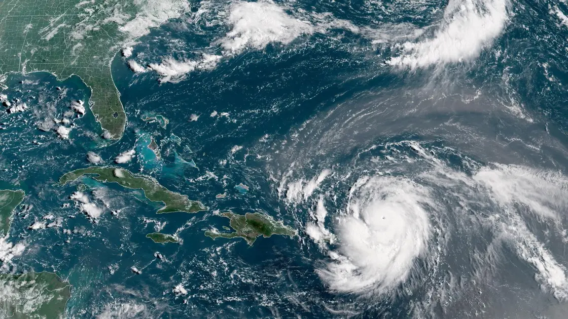
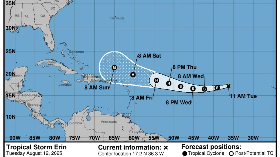
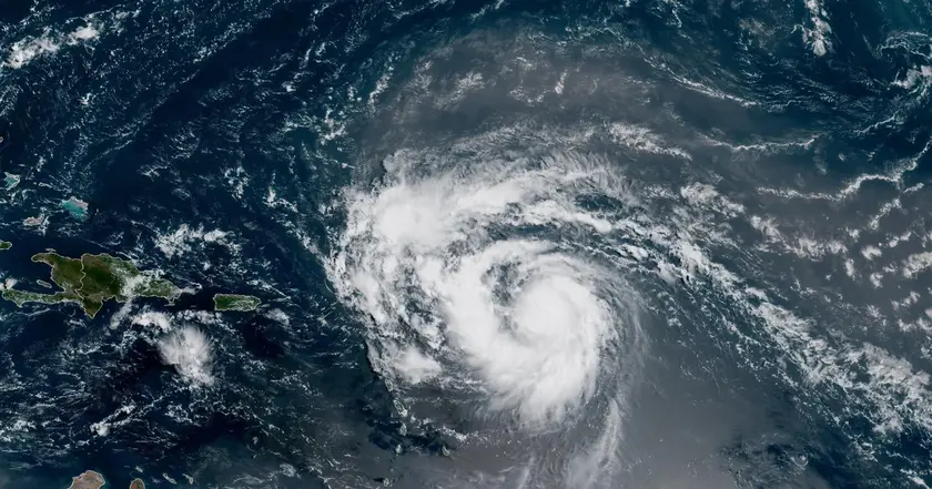
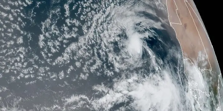
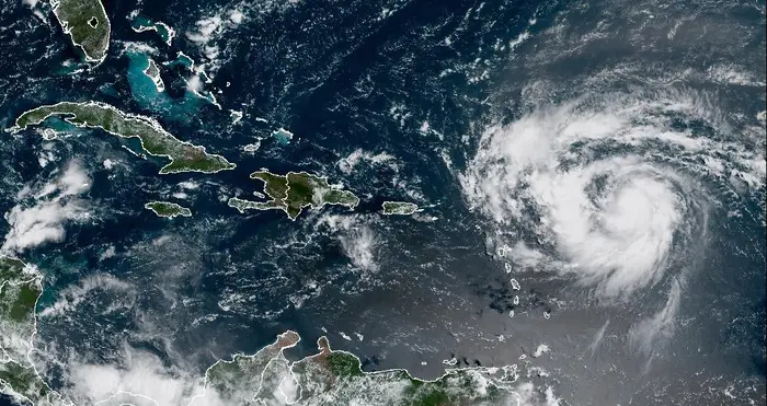
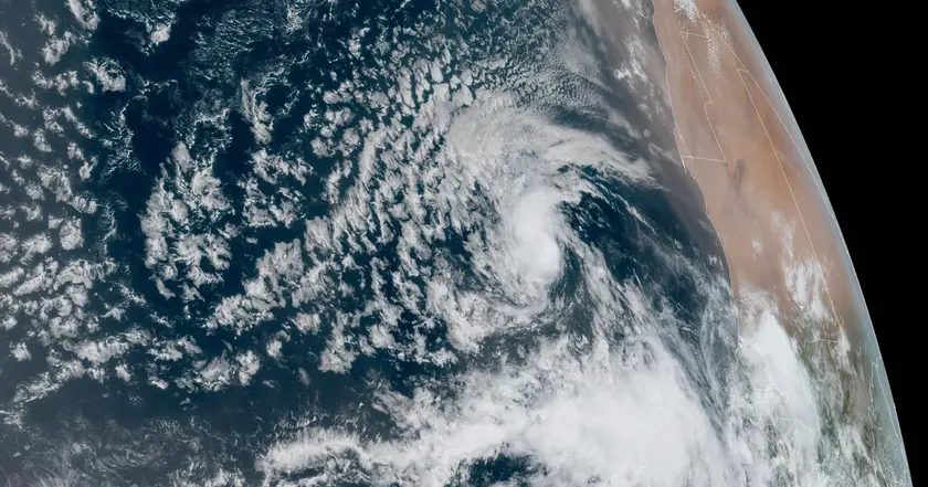
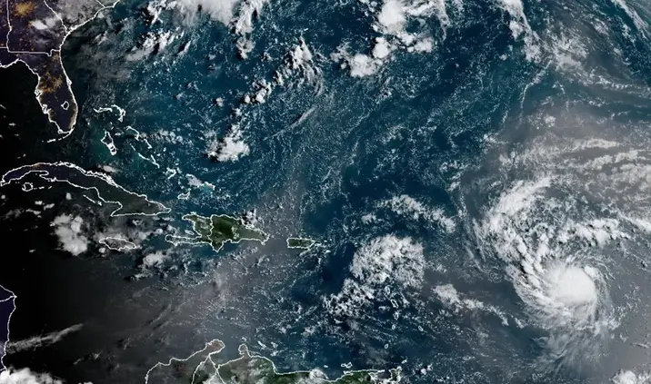
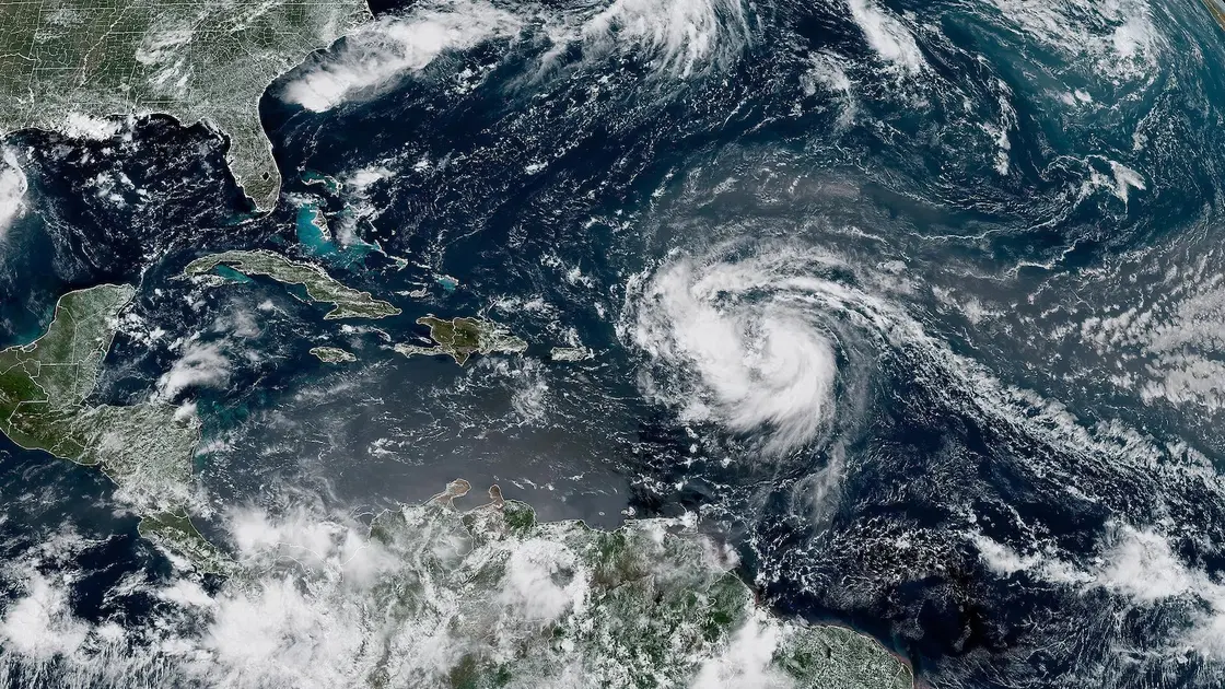
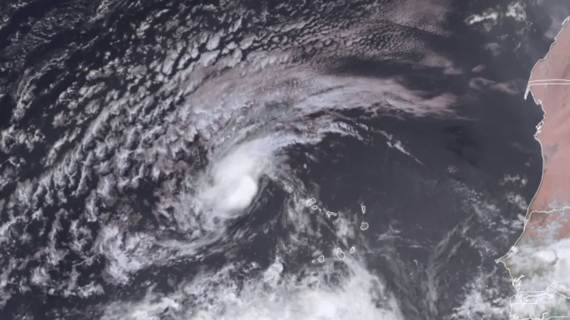
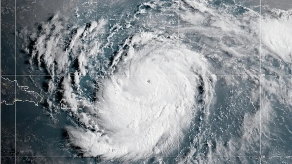
Tropical Storm Erin sits about 820 miles west of Cape Verde, with maximum sustained winds near 45 mph and tropical-storm-force winds extending up to 35 miles. Federal forecasters say Erin could strengthen over the next few days and may become a hurricane by late Thursday. The Cape Verde island of Sao Vicente reported eight fatalities due to severe storms, underscoring the human cost of Atlantic weather events. The National Hurricane Center notes Erin will cross warm ocean waters and gain strength as it moves quickly west toward the Caribbean, then slows and turns toward the west-northwest. The storm’s current path could bring it closer to Puerto Rico, the Virgin Islands and the northern Leeward Islands, with potential effects on the east coast of the United States, Bermuda, the Bahamas and the Greater Antilles next week. NOAA had earlier forecast an above-average season with 13–19 named storms, aided by warmer seas and weak wind shear.
Key Takeaways
"The storm is still in the forecast cone"
current forecast uncertainty
"Communities should act now before the forecast narrows"
public safety advice
"A warmer ocean is reshaping what a normal season looks like"
climate context
"This is a reminder that nature does not respect calendars"
emotional response
Erin’s forecast shows how early storms test preparedness. Forecast accuracy remains constrained by shifting conditions, and the most immediate risk lands on small island nations with limited resources. The news also highlights a broader trend: a warmer Atlantic makes rapid intensification more likely, which raises stakes for residents and officials alike. For communities farther north, timing remains uncertain, but the call to plan now is clear. The piece links weather science to everyday decisions, a reminder that climate signals are shaping both risk and resilience.
Highlights
- The season is already showing teeth
- Storms don't wait for budgets or calendars
- Forecasts are a moving target and that is normal
- Preparation today means less chaos tomorrow
Cape Verde fatalities and potential regional impacts raise safety concerns
Fatalities on Sao Vicente highlight the immediate human cost of storms. Forecasts show Erin could affect Caribbean islands and parts of the U.S. East Coast next week, elevating the need for quick, coordinated emergency planning and resource allocation.
Preparedness today helps communities weather tomorrow's storm
Enjoyed this? Let your friends know!
Related News
Hurricane Erin forms in Atlantic
Erin poised to become first major hurricane of 2025 Atlantic season
Hurricane Erin strengthens toward major hurricane
Tropical Storm Erin forms in Atlantic
Erin Could Become First Hurricane This Weekend
Erin becomes first Atlantic hurricane of season
Erin set to strengthen into major hurricane
Hurricane Erin strengthens near Caribbean