T4K3.news
Heavy rain forecast for UK on September 2
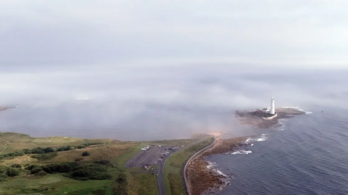
WX charts show widespread rainfall across the British Isles with Scotland and Northern Ireland likely to take heavier downpours.


Forecast maps show bands of rain moving across the British Isles on September 2, with heavier downpours in western Scotland and Northern Ireland.
UK weather maps predict widespread heavy rain
Forecast data from WXCHARTS.COM indicate rain will sweep much of the UK on Tuesday, September 2. Early hours show bands on Scotland's western coast and islands bringing 2.5 to 3 mm of rain per hour, with heavier showers possible later as rain moves inland. By 1 pm a broad swath of the country appears under rain clouds, including Wales and northern England, with pockets of heavier rainfall near Perth and Kinross, Aberdeenshire, and Angus possibly reaching 3.5 mm per hour. By 6 pm, rain remains across large parts of the country, and the heaviest bands are forecast to shift toward Scotland and northern England.
The Met Office notes that confidence in the detail of the forecast for the two-week period is low. The outlook points to unsettled weather and the potential for stronger winds, depending on how low pressure systems move from the Atlantic. Temperatures are expected to be near or slightly above average overall.
Key Takeaways
"Temperatures are likely to be near to, or slightly above average overall."
Met Office long-range forecast quoted in the article.
"There will be the potential for periods of stronger winds at times as well."
Met Office note on wind risk.
"Whether this takes the form of further low pressure systems running in from the Atlantic, or a more slowly evolving weather pattern with the potential for heavy showers is less clear."
Met Office caveat about forecast confidence.
"Rainclouds could stretch down the North West to include Manchester."
Forecast note on rainfall reach.
This forecast highlights how public plans increasingly hinge on model maps that can change quickly. Forecasts from WXCHARTS and the Met Office guide travel, school, and outdoor events, yet they come with uncertainty. Local authorities and transport operators should watch for updates as bands of rain shift and winds potentially pick up. The bigger story is not just the rain but the reminder that weather communication must balance clarity with changeable data.
Highlights
- Forecast maps rewrite plans in a heartbeat
- Rain now shapes tomorrow’s routes
- The forecast keeps changing the map
- Weather plots care little for plans
Forecasts will evolve, and local alerts will matter most in the hours ahead.
Enjoyed this? Let your friends know!
Related News
Storm Floris expected to impact the UK

Wildfire smoke forecasting tools reviewed

Thames Water contingency plans approved
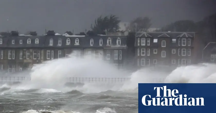
Storm Erin Remnants Metered for UK

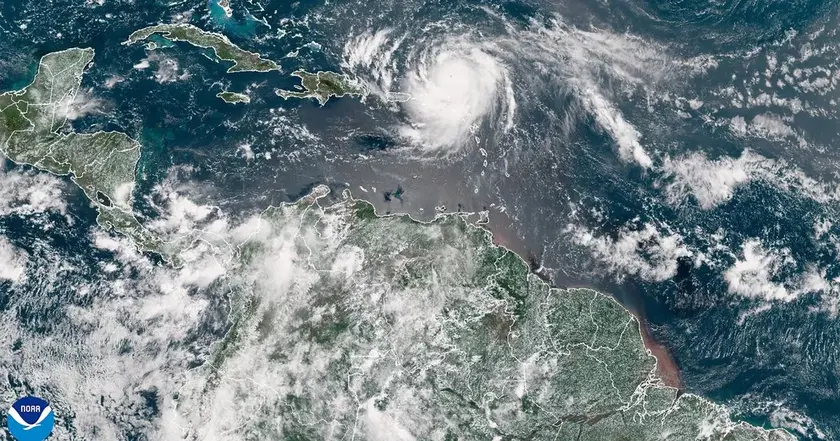
Hurricane Erin Rapidly Intensifies

Hurricane Erin Update

Storm Erin update reaches UK

Omaze winners face unexpected challenges after house wins