
T4K3.news
Thunderstorm warning in effect for southern England
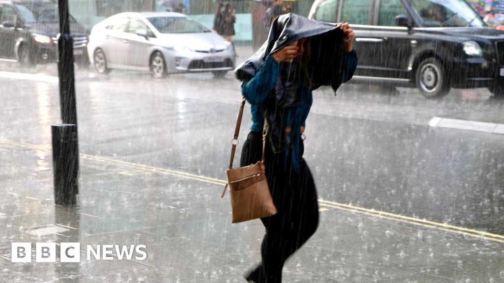
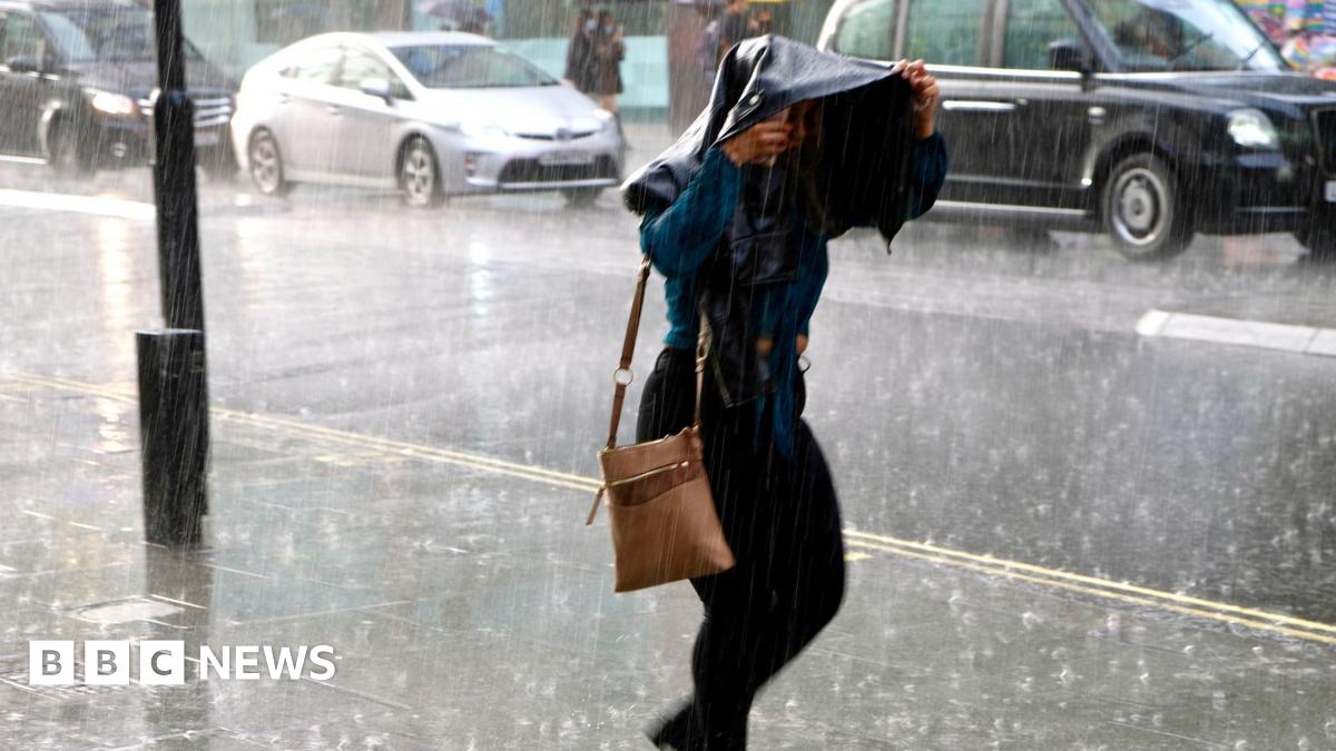
A yellow warning for severe thunderstorms is active, affecting several cities until 9pm.


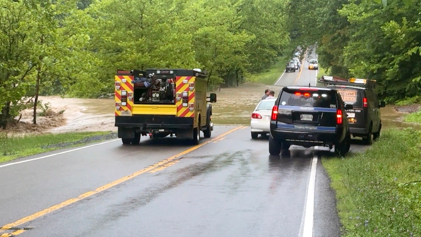
Forecasters have warned of possible flash flooding, public transport disruptions, road closures and power cuts due to heavy rain.
Thunderstorm warning issued for southern England with heavy rain expected
A yellow thunderstorm warning is now active across parts of southern England, including areas such as Bristol, Oxford, Southampton, London, Kent, and Ipswich. The alert will remain in effect from 10am to 9pm today. Forecasters predict intense downpours, with some locations potentially receiving up to 60mm of rain in just a couple of hours. Additionally, there are concerns about flash flooding, disruptions to public transport, road closures, and power outages. Met Office meteorologist Clare Nasir emphasized that heavy weather is set to impact central and southern England and Wales over the next 24 hours, following a system moving from the Republic of Ireland. While southern regions brace for thunderstorms, parts of northern England and Wales may experience clearer skies and sunshine.
Key Takeaways
"Expect some heavy weather coming towards central and southern parts of England and Wales through the next 24 hours."
Met Office meteorologist Clare Nasir highlights the imminent severe weather threat.
"A thunderstorm warning has been issued for southern counties of England."
This statement reflects the urgency and potential danger posed by the weather conditions.
The current yellow warning signals the UK's vulnerability to severe weather events, particularly during the summer months when thunderstorms become more frequent. As climate change intensifies, the government and local authorities must reassess emergency preparedness and infrastructure resilience to manage the impacts of such weather more effectively. The possibility of flash flooding and associated damage places additional stress on already strained public services. Understanding the dynamics of these weather patterns is crucial for public safety, as lives and livelihoods can be severely affected.
Highlights
- Storm clouds loom large over southern England.
- Prepare for sudden heavy downpours and potential flash flooding.
- Stay alert: Southern England braces for severe thunderstorms.
- Public transport disruptions may escalate due to the storm.
Potential hazards from thunderstorms
The yellow warning raises concerns about flash flooding, transport disruptions, and power cuts, putting public safety at risk.
As weather patterns become more unpredictable, community readiness is essential.
Enjoyed this? Let your friends know!
Related News

Heavy rainfall expected across UK
Flash flood warnings issued for millions in eastern US
Amber warning issued for south-east England

Severe thunderstorm warning issued for London this weekend
Amber weather warning issued for London

UK prepares for heavy rainfall within 24 hours

US heat dome brings extreme conditions

Flash floods cause rescues in Ruidoso
