T4K3.news
Storm Floris impacts travel across the UK
Severe weather leads to train and ferry cancellations in northern England and Scotland.


Severe weather conditions impact travel across northern England and Scotland.
Storm Floris causes significant travel disruptions in UK
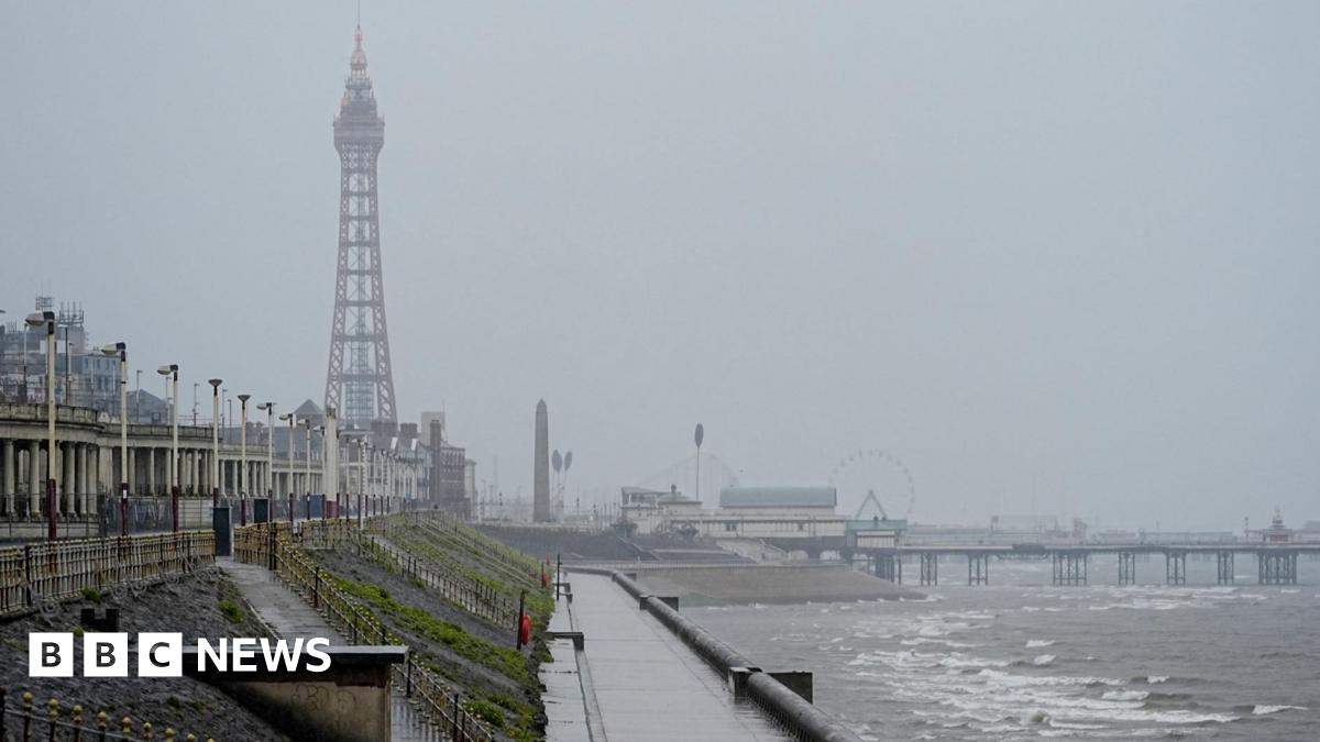
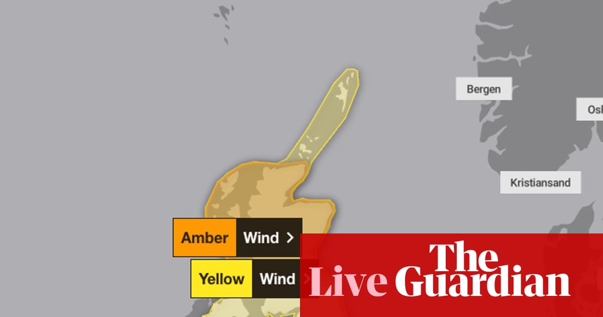
Parts of the UK are facing travel chaos as Storm Floris hits with winds reaching up to 85mph and heavy rain. A yellow wind warning has been issued for northern England, effective from Monday morning until Tuesday morning, while an amber warning applies to much of Scotland from 10am to 10pm. Major disruptions are expected, especially for train services, with the LNER advising passengers against traveling north of Newcastle, and Avanti West Coast issuing similar warnings for routes beyond Preston. This storm is anticipated to close roads, airports, and ferry services, further complicating travel. Cancelled services and delays are likely as the storm progresses throughout the day. Network Rail has announced the closure of numerous train lines from noon on Monday, impacting cities like Aberdeen, Dundee, and Edinburgh. Chief meteorologist Matthew Lehnert noted that while the strongest winds are expected to occur on Monday afternoon, some uncertainty remains regarding the storm's track and intensity. In addition to travel issues, areas in the warning zone will face heavy rainfall that could exacerbate flooding and other hazards.
Key Takeaways
"Across the warning area, many inland areas are likely to see gusts of 40-50mph."
Meteorologist Matthew Lehnert outlines expected wind speeds in the region.
"Winds will first ease in the west during later Monday but remaining very strong overnight."
Lehnert provides a timeline for expected weather changes as the storm progresses.
"A small chance that some locations could even record gusts of 85mph."
Lehnert highlights the severity of the storm's impact on certain areas.
The arrival of Storm Floris exemplifies the increasing frequency of extreme weather events, stirring concerns about infrastructure resilience in a changing climate. With travel restrictions enforced, the public faces not only inconveniences but also potential safety risks. The interplay between severe weather and travel logistics highlights the necessity for improved preparedness and response strategies from transport services. Disruptions during peak times, particularly in festival-heavy regions like Edinburgh, could deal significant blows to local economies, emphasizing the broader implications of climate-related disruptions.
Highlights
- Storm Floris disrupts travel, forcing many to stay put.
- Weather warnings highlight risks as gusts reach 85mph.
- Travel chaos reigns as Scotland braces for the storm.
- Infrastructure faces test as extreme weather hits the UK.
Severe weather poses travel and safety risks
Storm Floris leads to significant disruptions in travel routes across the UK, affecting safety and timely transport for many.
The evolving impact of Storm Floris underscores the need for better climate adaptation measures.
Enjoyed this? Let your friends know!
Related News

Amber warning issued for Storm Floris impact

Storm Floris leads to train cancellations and weather warnings

Storm Floris expected to impact the UK
Scotland braces for Storm Floris with severe weather warnings

Storm Floris causes transport chaos in the UK

Severe weather warning issued for Liverpool's friendlies

Storm Floris set to impact Merseyside

Storm Floris to hit the UK next week