T4K3.news
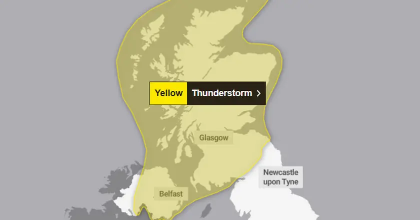
Scotland Thunderstorm Warning Issued
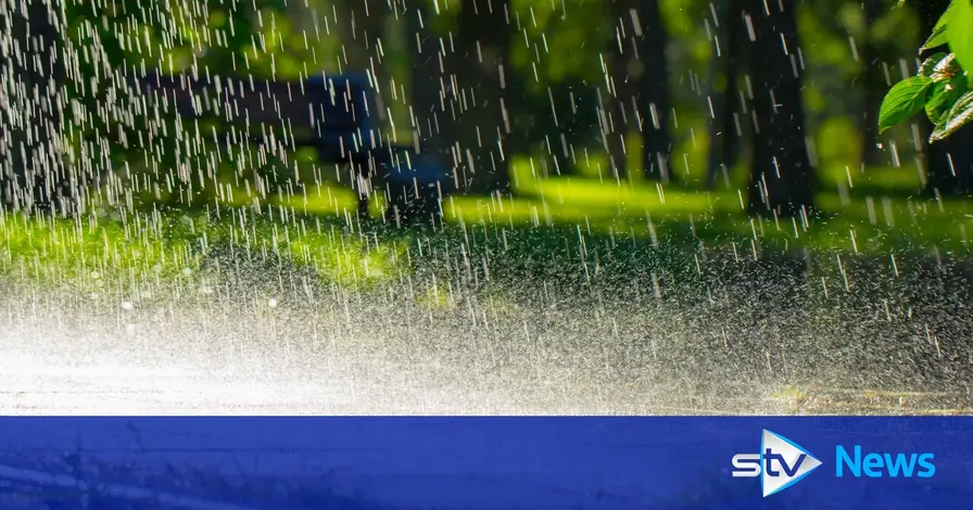
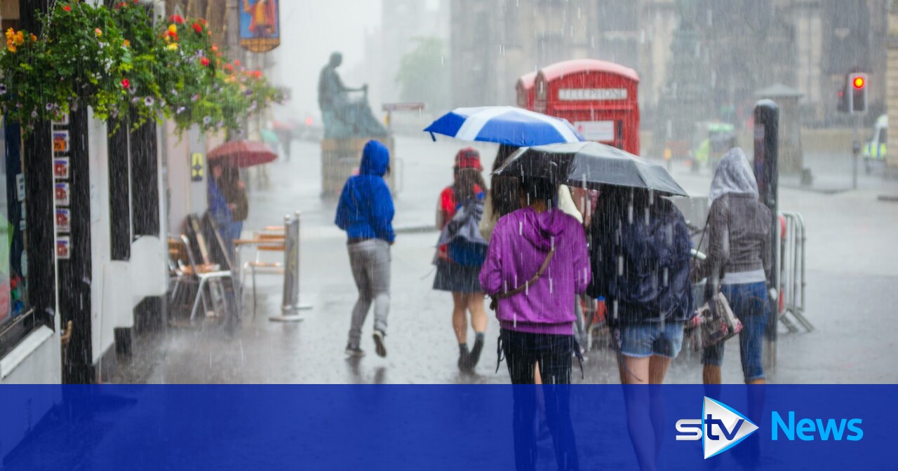
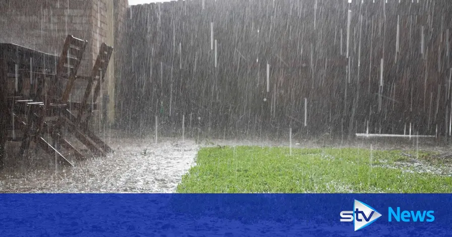
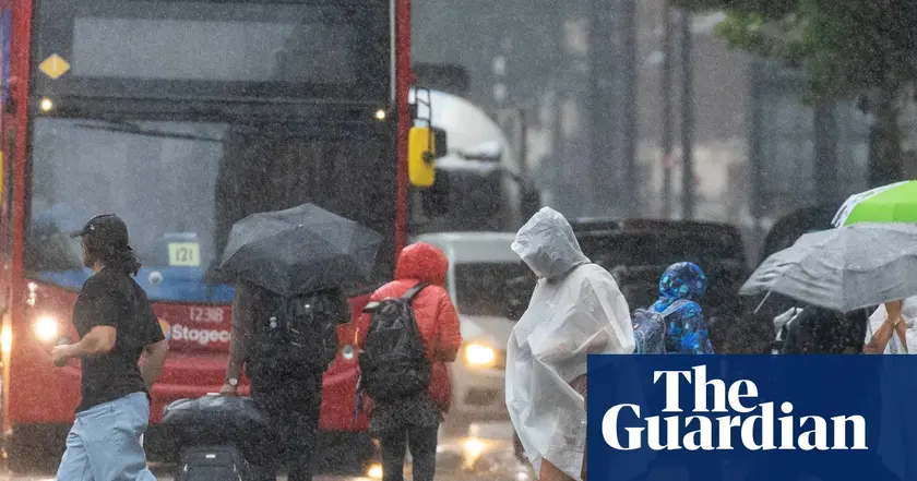
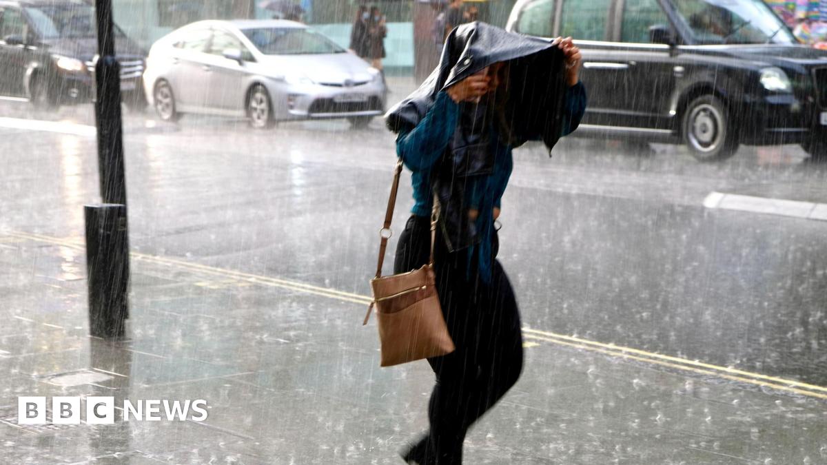
Heavy rain up to 60mm per hour could cause surface water flooding and disrupt travel on roads, rail and ferries.

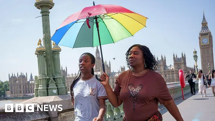
The Met Office warns of heavy showers and flood risk as a heatwave gives way to unsettled conditions across Scotland.
Scotland Braces for Thunderstorms and Flood Risk Amid Heatwave
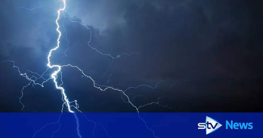
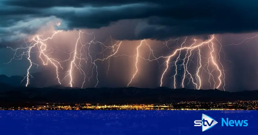
A second yellow thunderstorm warning covers Scotland, with forecasts of heavy downpours, hail and lightning. Forecasters warn up to 60mm of rain could fall in an hour in isolated areas, raising the risk of surface water flooding and travel disruption on roads, rail and ferries.
Temperatures have climbed into the low 30s in parts of the country, part of a heatwave that has prompted wildfire warnings from the Scottish Fire and Rescue Service. Outdoor naked flames are advised against until August 19. Forecasters expect Atlantic high pressure to return, bringing calmer conditions over the weekend, though some areas may still see rain as the system moves in.
Key Takeaways
"Originally we started the week with high pressure in charge of our weather but today we have seen low pressure drifting across Scotland."
Weather presenter explains the shift in systems.
"Come tomorrow though, we start to see high pressure building in from the Atlantic once again, and this will both help to settle things down in terms of our weather just in time for the weekend."
Forecast for weekend.
The article blends a formal weather alert with practical safety guidance, using specific rainfall figures to convey risk. It links a heatwave to the likelihood of storms, underscoring how quickly conditions can deteriorate.
The editorial angle highlights a dual risk: immediate hazards from storms and longer term strain on infrastructure and emergency services. It also raises questions about how authorities communicate evolving risk and how residents should adjust plans for travel and outdoor activities.
Highlights
- Heat and storms in one week show how thin calm can be.
- When the weather flips, plans must adapt quickly.
- Public safety rides on timely alerts and clear guidance.
- The weekend could bring relief but disruption remains today.
Public safety risk from heavy rain and heatwave
The combination of a heatwave and intense storms increases the potential for rapid flooding, travel disruption and strain on emergency services. Clear guidance and timely alerts are essential to protect the public.
Forecast updates will shape travel and safety decisions as conditions evolve.
Enjoyed this? Let your friends know!
Related News
Weather warning issued for thunderstorms in Scotland
Scotland faces two days of thunderstorms
Severe weather warning issued for Scotland
Thunderstorms hit Scotland with two day warning
Scotland faces third day of rain and storms
Heavy rainfall expected across UK
Severe thunderstorm warning issued for London this weekend
Amber weather warning issued for London