
T4K3.news
Satellite data confirm 10,000 hectares burned in Greece
VIIRS imagery shows the spread across multiple regions as of early Wednesday, highlighting the scale of the fires and the need for swift response.

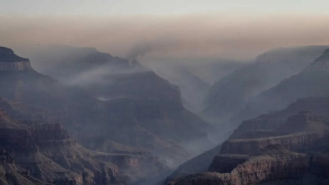
Satellites tracked a large wildfire footprint across several Greek regions totaling about 10,000 hectares burned in recent days.
Satellite data show Greece burned 10,000 hectares
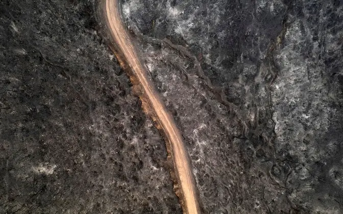
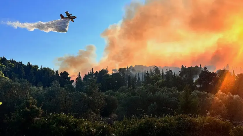
A report by the National Observatory of Athens uses VIIRS satellite data to estimate the spread of wildfires across Greece. As of about 3 a.m. on Wednesday, roughly 10,000 hectares have burned, with Chios bearing the heaviest impact at about 4,000 hectares. Other affected areas include Achaia with 2,000 hectares, Filippiada near Preveza with 1,800 hectares, Zakynthos with 1,700 hectares, Paliambela near Preveza with 250 hectares, and Patra with 200 hectares. The figures come from VIIRS satellite imagery that provides a snapshot of the crisis across multiple regions.
The data illustrate a fire season that stretches across islands and mainland areas alike, underscoring the geographic reach of the danger and the importance of near real time monitoring for emergency response and resource allocation.
Key Takeaways
"Satellites do the counting so locals can act"
data-driven response support
"Fire across many regions shows how quickly risk shifts"
illustrates multi-site danger
"Data can save lives by guiding fast response"
value of timely information
"Heat and wind test the limits of emergency services"
ongoing strain on responders
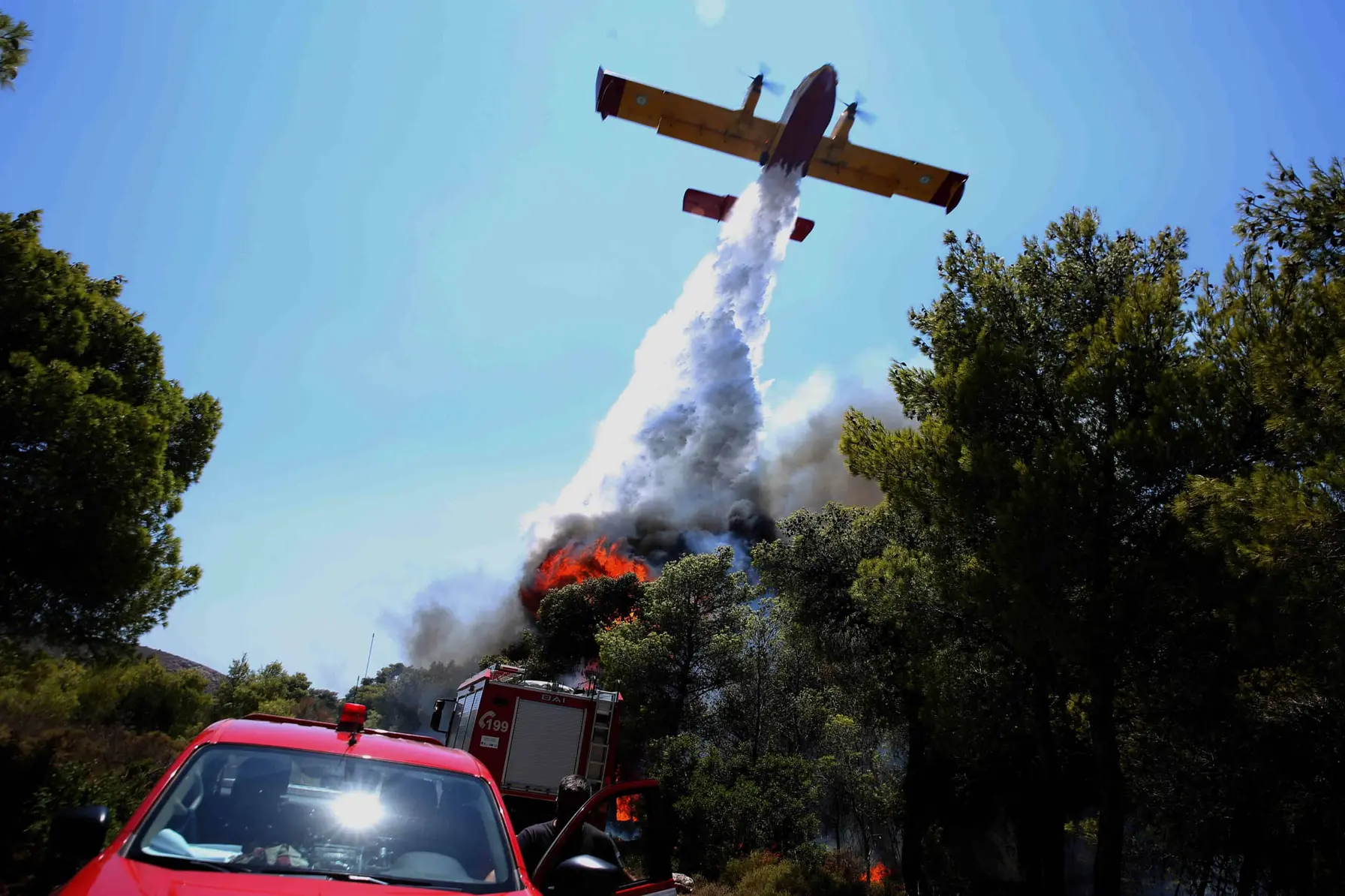
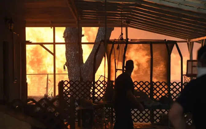
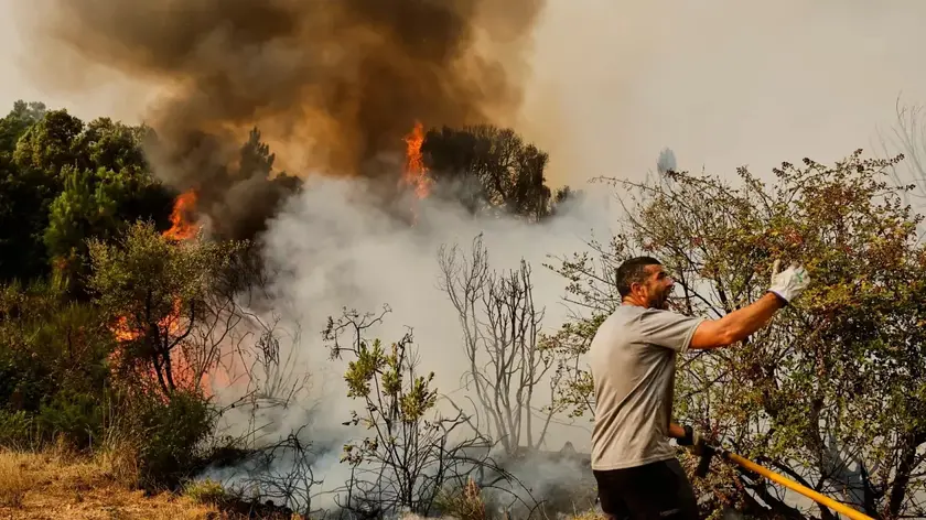
The numbers exit from a scientific instrument but land in the public realm as a reminder of how quickly conditions can change. Satellite monitoring makes it possible to map danger zones and direct firefighting assets even when ground reports lag. Officials will face ongoing challenges if dry conditions persist and winds shift; the same data that help save lives can also heighten scrutiny of readiness and funding for fire services. As Greece groups multiple fires under one crisis, the conversation shifts toward regional coordination and climate resilience.
Highlights
- Satellites do the counting so locals can act
- Fire across many regions shows how quickly risk shifts
- Data can save lives by guiding fast response
- Heat and wind test the limits of emergency services
Officials warn that the fire season remains active as weather conditions evolve.
Enjoyed this? Let your friends know!
Related News
Greece faces worsening forest fires as satellite data shows 24,000 acres affected
Firefront reaches Patras suburbs
Record wildfires test European response
Wildfire smoke forecasting tools reviewed
Israeli Forces Face Allegations of War Crimes
Greece battles wildfires as Patras evacuations rise

Ukrainian military impacted by Starlink outage
Documentary Investigates Iconic Vietnam Photo Controversy
